Fläche

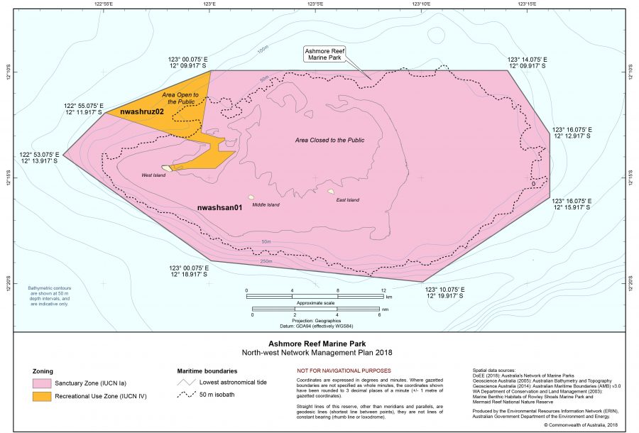
Karte: Ashmore-Riff mit Ashmore-Inseln
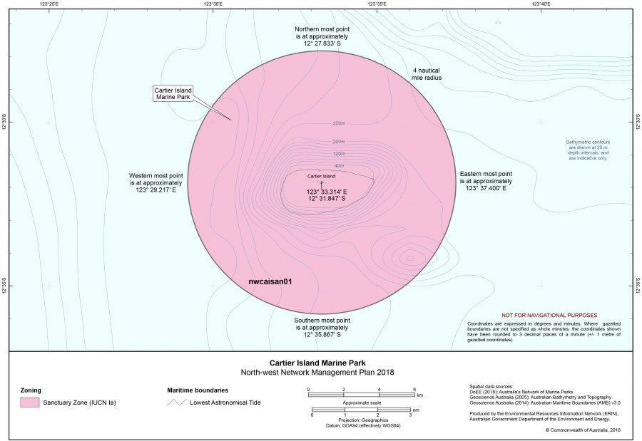
Karte: Cartier-Insel

Fläche: 5 km² – bestehend aus: Ashmore-Inseln (Ashmore Islands/Pulau Pasir/Nusa Solokaek[1]) bzw. Ashmore-Riff (Ashmore Reef) [Mittel-Insel (Middle Islet/Bagian tengah) 0,0212 km², Ost-Insel (East Islet/Bagian timur) 0,025 km², Splittgerber-Insel (Splittgerber Cay) und West-Insel (West Islet/Bagian barat) 0,0512 m²] 1,89 km² (1,12 km²) und Cartier-Insel (Cartier Island/Kepulauan Cartier bzw. Pulau Baru) 3,11 km² – EEZ: k. Ang., Fläche innerhalb der australischen EEZ[2]


[1] englische, indonesische und „rotinesische“ Bezeichnung

[2] Vgl. Australia’s Maritime Zones, National Mapping Division (NATMAP), Geoscience Australia 2002, http://www.ga.gov.au/image_cache/GA3746.pdf (aufgerufen am 2012-06-11)

Kommentare sind geschlossen.